
- Home
- Services
- 3D Laser Scanning
- 3D Laser Scanning Process
3D Laser Scanning Process
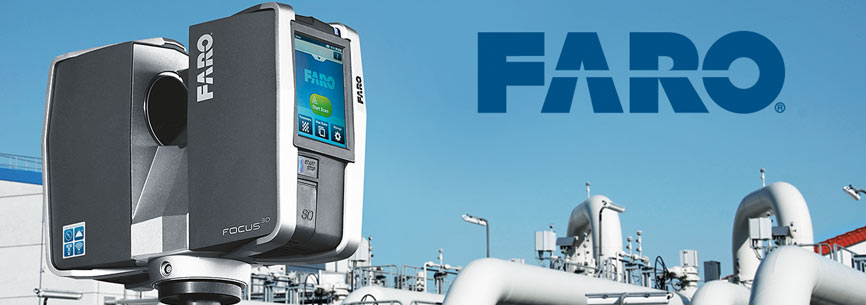
Scan technology has progressed hugely in the last few years. Now simple-to-use, highly portable, robust 3D laser scanners complete scans of a wide variety of environments with exceptional speed, registering up to 976,000 measurement points per second and rendering detail with millimetre precision.
FARO laser scanning systems provide a photorealistic 3D colour scan of the given terrain or structure thanks to integrated cameras (up to 70megapixels) boasting a parallax-free colour overlay.
By modulating the amplitude of emitted light fired onto a surface, the scattered reflection from that light is collected and the phase difference between sent and received waveforms measured.
Using supplied target cards or spheres and/or existing environmental features, scanning involves collecting data from multiple scan points to register the complete scan. The result is a pointcloud, which can be coordinated by applying surveyed coordinates to known points or targets.
The photographic overlay data is captured at the same time, with an RGB (Red, Green, Blue) value associated to each cloud point. The pointcloud data can then be imported into CAD/GIS software directly as pointcloud (full, thinned or sampling via clipbox) mesh, or through various third party modelling software packages.