
- Home
- Services
- Asphalt Roads and Surfaces
- Line Marking Survey
Line Marking Survey
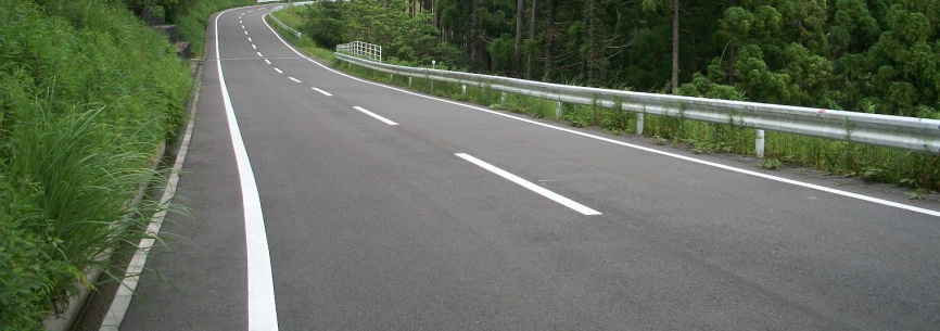
Reinstating lane marking after surface rehabilitation work has been completed has traditionally been a long process, involving extended closure times. Whereas previously lane markings would need to be mapped with measuring tape and recorded on graph paper to ensure accurate reinstatement, Synergy Positioning employs accurate GPS technology to survey existing lines.
We’re then able to store this data in our CAD software, allowing us to reset line indicator marks quickly and accurately with a survey instrument ahead of the linesmen returning. A task that might have taken in excess of four or five days previously can often be completed within a single working day.