
About Us
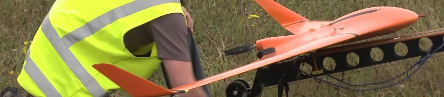
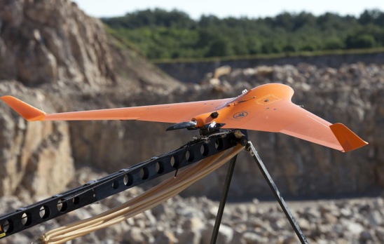
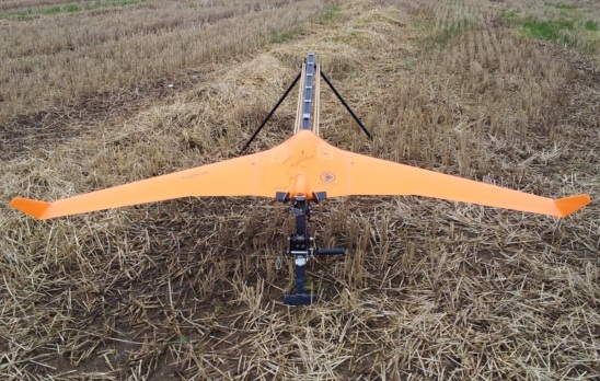
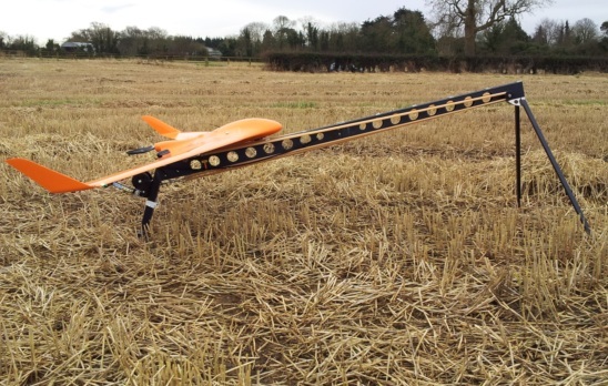
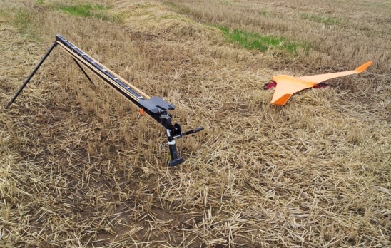
Synergy Positionings Bramor UAV
Our extensive experience in using Unmanned Aerial Vehicles (UAVs) to survey a large variety of land forms and environments quickly and accurately means our clients have access to the fastest, most cost-effective technology available.
Not only was Synergy Positioning one of the first New Zealand companies to utilise Unmanned Aerial Vehicles (UAVs) for surveying, but with around 200 operational survey flights completed, we have a vast amount of experience in the field... and in the air.
With the absolute latest in both fixed-wing and heli UAV technology at our disposal, we’re able to survey a large variety of land forms and environments safely, quickly and accurately.
Gallery
Related Case Studies
-
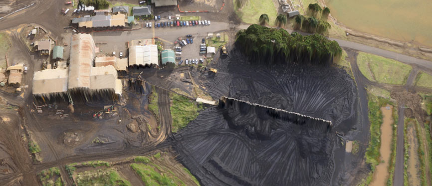
NZ Steel UAV - Taking Stock
Synergy Positioning Systems’ UAV consultancy service provides New Zealand Steel with a safe and fast way of acquiring stockpile volume data. New Zealand Steel has been utilising Synergy Positioning Systems’ Unmanned Aerial Vehicle (...
Read More -

UAV’s Changing The Face Of Topographical Surveying
While Unmanned Aerial Vehicles (UAVs) have become more commonplace in recent years, many industries are still only just beginning to tap into what the technology can be utilised for and what project planning goals UAVs can help achieve....
Read More