
About Us

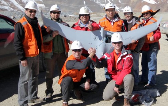
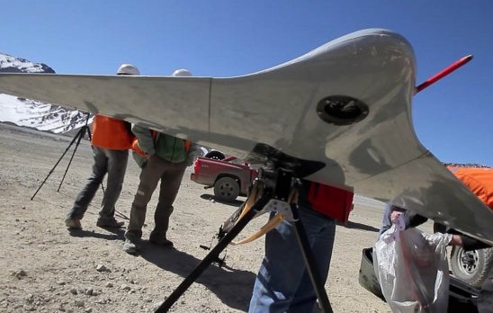
C-Astral Bramor UAS @ Chile 2012
Flight at 4150m AMSL Chile (C-Astral Bramor)
Gallery

Related Case Studies
-

Dines Group maps the future of Pokeno
While the applications for aerial survey data gathered via specialised Unmanned Aerial Vehicles (UAVs) continue to evolve and grow, often the most effective uses for detailed aerial map information are also the most obvious....
Read More -
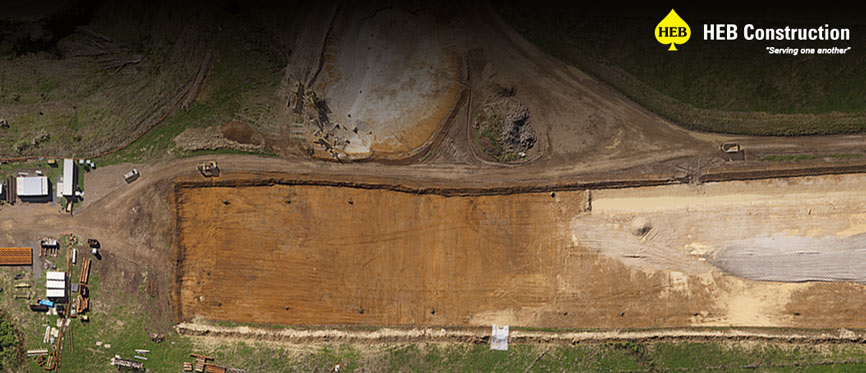
Giving the Project Wings
Time is constantly of the essence on the large scale Waikato Expressway project. For HEB Construction, the need to survey large corridors of terrain regularly led them to utilise the services of Synergy Positioning Systems' aerial survey ...
Read More