
Products
- Machine Control
- GNSS Equipment
- Total Stations
- Lasers and Levels
- Aerial Mapping Systems
- Measuring Instruments
- Software
- Field Controllers
- Topcon Laser Scanning
- FARO Laser Scanning
- Mobile Mapping
- Hydrographic Survey Equipment
- Survey Accessories
- Lighting Systems
Your enquiry
Your rental enquiry
* Please note all prices exclude GST

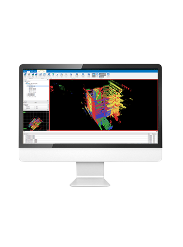
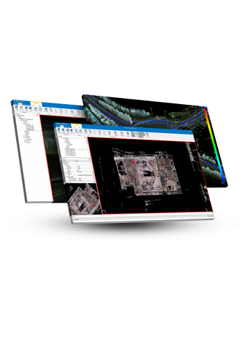
MAGNET Collage
A 3D Software Environment to Combine Data Sets from Multiple Mass Data Sensors
MAGNET Collage provides data processing of otherwise disparate data sets into one 3D environment that can accommodate laser scanner, mobile scanning and mapping, road resurfacing scanners, and photogrammetric point clouds. To further simplify the combination of data, geographic coordinate points from ground control and surveying control can be leveraged for easy matching of point clouds.
- Combine Mobile and Static scan data into one immersive 3D environment.
- Faster point cloud processing and mass data handling
- Combine Civil, Mapping, BIM, and survey data
- Advanced matching and ground control functionality for a variety of sensors
- Extensive projections and geoids exports
- Segment and reduce point clouds to facilitate import into third-party software
- All in one mass data processing software
MAGNET Collage Specs
- Operating System: 64-bit Windows 7, 8, 10
- CPU: Intel Core i7, Xeon
- RAM: DDR3 8GB or higher
- Graphic Card: Nvidia, VRAM 512MB or higher
- Storage: SSD 500GB or higher is recommended
- Monitor: Resolution: SXGA (1280x1024) or higher
Product Downloads Section
MAGNET Collage
Please contact us for more details on product rental.
Free Call: 0800-867-266
Phone: +64-9-476-5151
Email: info@synergypositioning.co.nz