
Products
- Machine Control
- GNSS Equipment
- Total Stations
- Lasers and Levels
- Aerial Mapping Systems
- Measuring Instruments
- Software
- Field Controllers
- Topcon Laser Scanning
- FARO Laser Scanning
- Mobile Mapping
- Hydrographic Survey Equipment
- Survey Accessories
- Lighting Systems
Your enquiry
Your rental enquiry
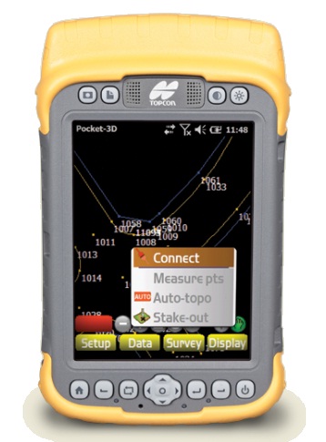
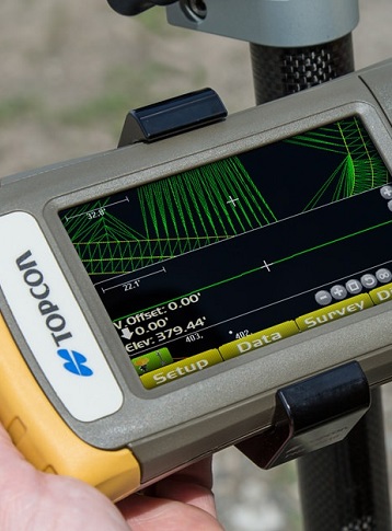
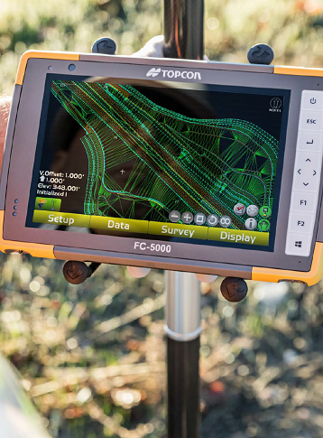
Pocket 3D
Contractor's Data Collection
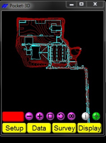
Pocket-3D is comprised of powerful software programs that run on a Windows Mobile, Windows Embedded Handheld, and Windows PC platform field controllers like the Topcon FC-250, 2500, 2600, Topcon Tesla, and Windows Tablets. Pocket-3D simplifies contractors' data collection, allowing you to to check cuts and fills, layout points, lines, and surfaces.
Some of the things Pocket-3D can do for you:
- Check grade & verify cut/fill anywhere and everywhere!
- Connect to SiteLink3D.
- Set grade stakes.
- Volume quantities - measure and compare surfaces.
- Measure and store as-builts.
- Internal Bluetooth® Wireless Technology.
With an intuitive touch screen interface, there's no need to be intimidated by dozens of buttons you will never use. Simply touch the screen to select your function and away you go.
Grade checkers and Foremen can use Pocket-3D to check grade anywhere on the site. No need to drive hubs or pull string line. Cut/fill information is constantly displayed on the screen. With Topcon GNSS and Robotic Total Stations, one person can now control grade over the entire project for multiple machines.
Need to verify how much dirt was moved this month, week, day? Just drive around the site in your truck or a wheeler and Pocket-3D will calculate your quantities. Now you can continually track your progress on the job to make sure you are on target. Know in advance if you are falling behind or are moving more material than you bid.
Hardware Platform
- Type: 32 bit, Windows compatible OS
- Accessories: CD Rom type, 128 software
- Processor Speed: 2 min Mhz