
News
- Topcon top of the pack for Finnish National Land Survey
- GPS Week Rollover
- A double win for Synergy at the Topcon Xperience Awards 2018!
- Topcon introduces new software for UAV inspection applications
- Topcon Talks About The Future of Construction in New Zealand
- International awards recognition for Synergy Positioning Systems
Newsletters
View all
UAV’s Changing The Face Of Topographical Surveying
April 7th 2014
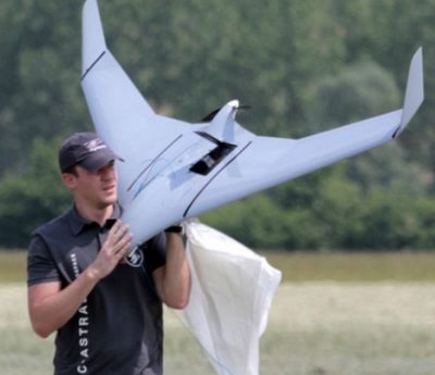 |
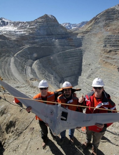
April 2014 – While Unmanned Aerial Vehicles (UAVs) have become more commonplace in recent years, many industries are still only just beginning to tap into what the technology can be utilised for and what project planning goals UAVs can help achieve. Constructed from advanced composite materials to be both exceedingly strong and ultra lightweight, UAVs are making a fast transition from ‘big boys toy’ to crucial business tool, not only for surveying, civil engineering and infrastructure companies, but for mining operators, local councils, utilities providers, even emergency response teams Synergy Positioning Systems Ltd is at the forefront of utilising UAVs for the aerial surveying of a wide variety of landforms, offering up hundreds of hours of experience operating both fixed-wing and heli UAVs, disseminating and delivering data to clients and using a consultative approach to assess their needs. |
|
 |
As Synergy Positioning Systems’ UAV consultancy Business Development Manager, Jeremy Neilson explains, recent advances in the design of robust and adaptable UAV technology means a more cost-effective mapping solution is now available for a much wider variety of projects.
|
|
 |
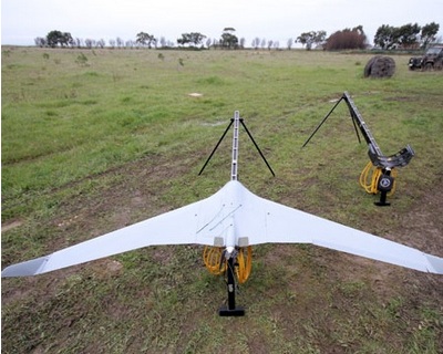
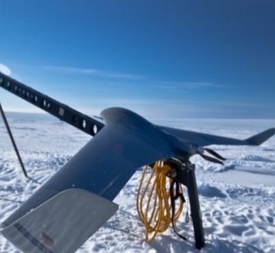
Louie Schutte, Synergy Positioning Systems’ UAV Technical Manager, elaborates further on the capabilities of UAVs, such as the rugged, fixed-wing C-Astral Aerospace Bramor gEO, which makes up part of Synergy Positioning’s aerial mapping consultancy fleet.
Once the required data has been captured, the UAV returns to a pre-programmed start point (landing conventionally if a rotor-wing craft, or deploying a parachute if a fixed-wing UAV), with the entire data capture process having been orchestrated by the operator from a neighbouring position without the need to step into a potentially hazardous environment during the fight. |
|
 |
Neilson suggests that the list of potential uses for UAV technology is growing exponentially and certainly isn’t confined to the construction and engineering industries.
|