
News
- Topcon top of the pack for Finnish National Land Survey
- GPS Week Rollover
- A double win for Synergy at the Topcon Xperience Awards 2018!
- Topcon introduces new software for UAV inspection applications
- Topcon Talks About The Future of Construction in New Zealand
- International awards recognition for Synergy Positioning Systems
Newsletters
View all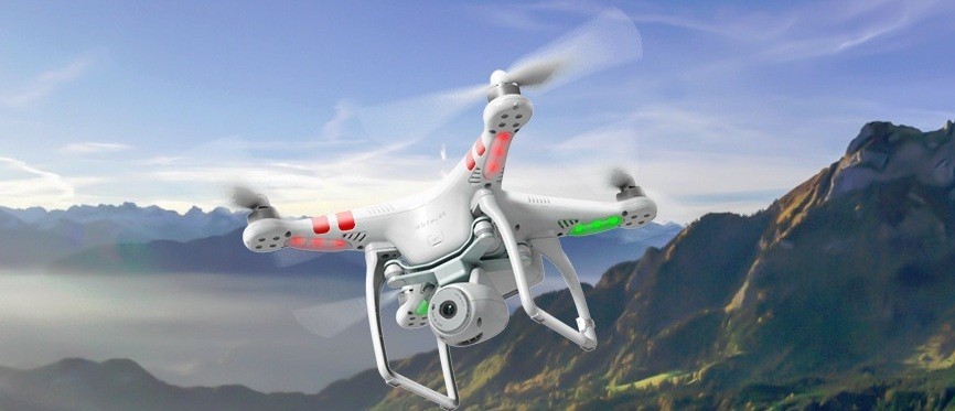
Synergy Phantom 2 Vision UAV Debuts
Synergy Phantom 2 Vision UAV Debuts
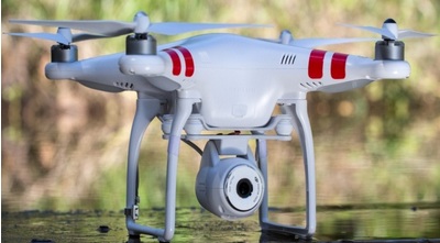 |
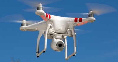
March 2014 – The latest addition to Synergy Positioning’s multifunctional integrated aircraft and camera platform line-up, the Phantom 2 Vision, was launched recently.Synergy Positioning UAV Technical Manager Louie Schutte says he is impressed with the comprehensive abilities of the new rotor-wing UAV.“The robust, all-in-one nature of the Phantom 2 Vision makes it both exceptionally practical, as well as predictable to utilise for survey mapping and inspection work. The new machine really showcases the stable and accurate hovering abilities of well-engineered UAVs.” |
|
 |
The Phantom 2 Vision also debuts a new integrated mobile phone FPV (First Person View) controller, designed to integrate seamlessly with a smartphone and give the operator real-time telemetry data and flight parameter information. |
|
 |
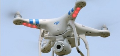
The mobile phone screen is also where the operator can control and adjust picture quality; using the DJI VISION app to configure ISO settings, exposure compensation and white balance depending on changing environment and available light during any one flight.A 4GB micro SD card is included with the system, allowing for quick and easy transferring of RAW and JPEG image files to a laptop or tablet device in the field, while the in-built 14megapixel camera onboard allows for multicapture, continuous capture and timed capture functionality, with the ability to record high definition video in 1080/p30 or 1080/60i. |
|
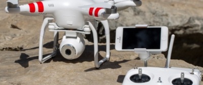 |
The system’s communication distance of 300m (CE) or 500m (FCC) can also be bolstered by a range extender option which utilises wi-fi from the operator’s smartphone up to a distance of 300m.The arrival of the Phantom 2 Vision furthers the ability of Synergy Positioning clients to either own or rent comprehensive aerial surveying hardware systems, backed-up by a knowledgeable, experienced technical support team. |