
News
- Topcon top of the pack for Finnish National Land Survey
- GPS Week Rollover
- A double win for Synergy at the Topcon Xperience Awards 2018!
- Topcon introduces new software for UAV inspection applications
- Topcon Talks About The Future of Construction in New Zealand
- International awards recognition for Synergy Positioning Systems
Newsletters
View all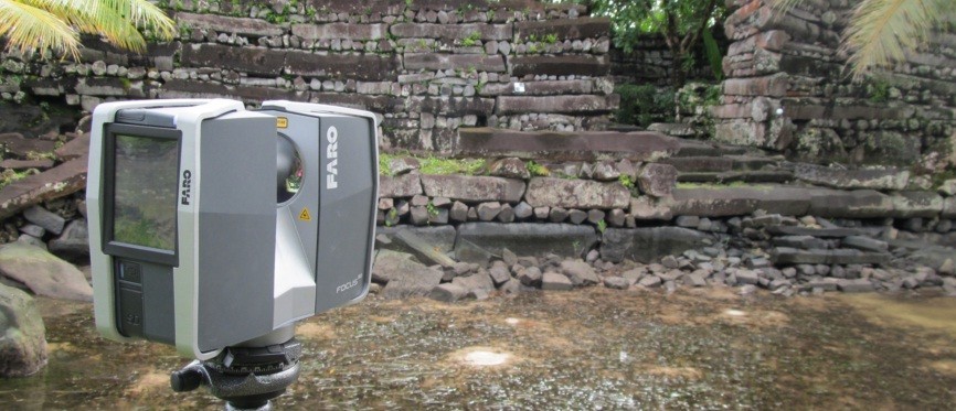
FARO Scans An Ancient World
Synergy Positioning Systems Recently Supplied A FARO Focus 3D Scanner For Use In The Archaeological Survey Of A Unique Monolithic Complex In Micronesia.
 |
March 2014 – Key structures in the Nan Madol ruins, on the eastern side of the island of Pohnpei were recently scanned by the School of Surveying in support of the University of Otago’s Anthropology department.The Nan Madol site is made up of 92 artificial islets built on part of a fringing atoll. It is believed construction of the megalithic walled islets began in either the 12th or 13th centuries. The walls are built from naturally formed columnar basalt rock, but exactly how the walls were constructed given the very heavy nature of the rock is an intriguing question for archaeologists. Central to this area is the royal mortuary islet of Nandauwas, which became the main focus of the research and survey work. |
|
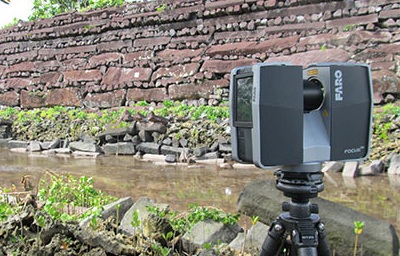 |
The three dimensional laser scanned survey model generated with the FARO Focus 3D is to be used to calculate rock volumes and allow researchers to interrogate dimensions and heights, and even compare architecture and damage in an attempt to determine when the structures were built, where the material came from and how this may have been done. The project was funded in part by the Humanities division of Otago University as well as National Geographic.Equipment supplied by Synergy Positioning included the FARO Focus3D Laser Scanner itself, as well as Scene analysis software and scan targets; five spheres and a number of checkerboards, some of which were laminated in anticipation of the heavy rain showers typical to the region. |
|
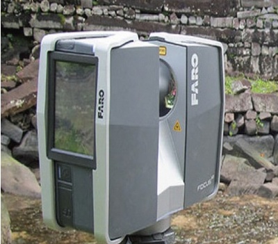 |
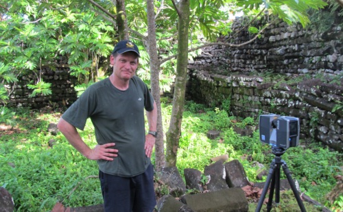
Target base disks were either screwed into the trunks of solid trees, or into wooden wedges that were then driven into gaps in the stones to provide fixed survey control points. This allowed the exterior survey to start and finish on common points and also to create points within the exterior that could be returned to with the sphere targets at a later stage. This was also necessary at the end of a day’s works to allow a return to the same control points.The research team reported back that they found the Focus3D scanner straightforward to use, with scan preferences such as resolution and field of view easy to set. With the instrument moving incrementally onto a new scan number, the team found the Focus3D very simple to move to a new position and get on with the next scan without spending time re-programming the instrument. With the FARO scanner itself being relatively small and weighing around 9kg in its hard-shell case, the team reports it could be comfortably taken onboard flights as hand luggage too. |