
Products
- Machine Control
- GNSS Equipment
- Total Stations
- Lasers and Levels
- Aerial Mapping Systems
- Measuring Instruments
- Software
- Field Controllers
- Topcon Laser Scanning
- FARO Laser Scanning
- Mobile Mapping
- Hydrographic Survey Equipment
- Survey Accessories
- Lighting Systems
Your enquiry
Your rental enquiry
- Home
- Products
- Topcon Laser Scanning
- Topcon GLS-2000
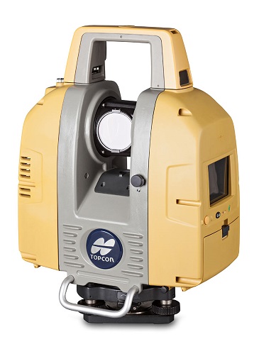
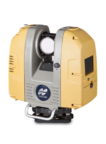
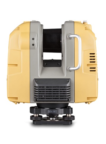
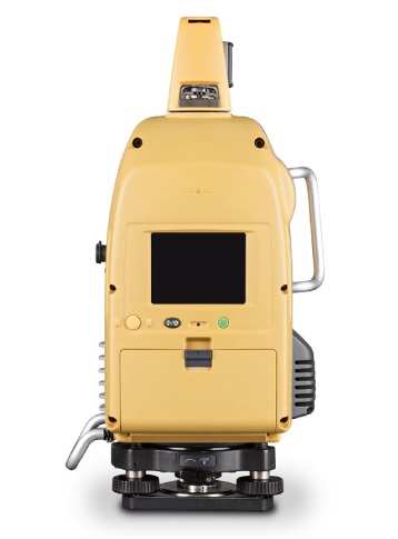
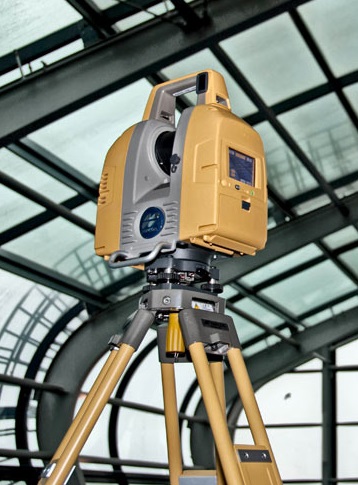
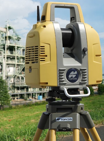
Topcon GLS-2000
Safe, Fast Long-Range Laser Scanning Is Here!
The first laser scanner to feature dual internal (wide-angle and telephoto) digital cameras for superior color image capture, Topcon’s GLS-2000 provides several unique features including:
- Selectable laser measurement modes from Class 3R to Class 1 to suit job site conditions.
- Multiple Lens Array System that quickly switches focal length settings.
- Auto Temperature Adjustment for consistent accuracy throughout the work day.
- Precise Scan Technology - signal processing including wave form for the ultimate in precise data.
The GLS-2000 delivers “eye-safe” 1,150’ (350m) scanning range at unprecedented speed. With one-touch scanning the GLS-2000 can be put to work quickly and easily without compromising accuracy making it an ideal tool across multiple applications. In particular, "Scan-to-BIM" and "As-Built" projects will benefit significantly from the precision and productivity provided by the GLS-2000.
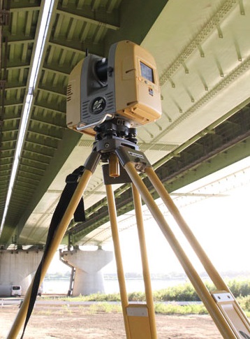
One additional feature that contributes to its versatility is 360° full-dome scanning capability. Even difficult to measure subjects such as building interiors, towers, and bridge spans are recorded at the press of a button. Using pre-set scanning parameters, easily collect a full-dome 360° scan of your work site in under 3 minutes… including images. Try that with any other laser scanner!
Like all Topcon products, the GLS-2000 is built tough for the everyday rigors of an active jobsite.
GLS-2000 Features Include:
- High Accuracy with Precise Scan Technology.
- High Speed 360º Dome Scanning.
- Long Range.
- Dual Camera.
- Eye Safe, Selectable Laser Technology.
- Compact, Lightweight, Rugged Design.
Maximum Range (System Performance)
- Standard Mode: Standard Mode
- High Speed Mode: 210m at 90%
- Low Power Mode: 210m at 90%
Single Point Accuracy (System Performance)
- Distance: 3.5mm (1-150m), 1sigma
- Angle: 6”
Dual Axis Compensator (System Performance)
- Resolution: 1”
- Accuracy: 4”
- Range: -/+ 6’
Target Deflection Accuracy (System Performance)
- Target Deflection Accuracy: 3” at 50m
Scanning Control
- Control System: On-board
- Display: VGA Color Touch Display
- Keyboard: 3 Key
- Data Storage: SD Card
Environmental
- Operation Temperture: -5ºC to 45ºC
- Storage Temperture: -20ºC to 60ºC
- Dust/Humidity: IP54
Physical
- Dimensions: 152 x 293 x 412mm
- Weight: 11kg
- Keyboard: 21 keys
Product Downloads Section
Topcon GLS-2000
Please contact us for more details on product rental.
Free Call: 0800-867-266
Phone: +64-9-476-5151
Email: info@synergypositioning.co.nz