
Products
- Machine Control
- GNSS Equipment
- Total Stations
- Lasers and Levels
- Aerial Mapping Systems
- Measuring Instruments
- Software
- Field Controllers
- Topcon Laser Scanning
- FARO Laser Scanning
- Mobile Mapping
- Hydrographic Survey Equipment
- Survey Accessories
- Lighting Systems
Your enquiry
Your rental enquiry

* Please note all prices exclude GST

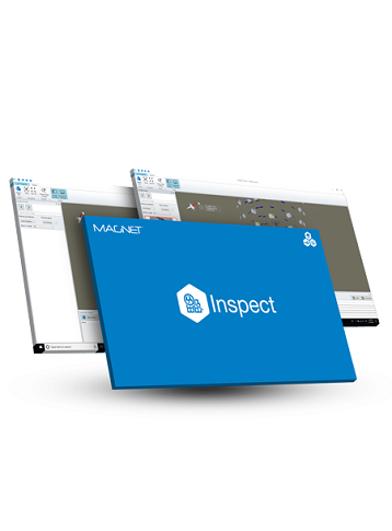
Topcon MAGNET Inspect
Efficiently browse, annotate, and create reports with UAV inspection photos. Improve your inspection workflow.
Efficiently manage large UAV data sets and bring selected images into an inspection report. MAGNET Inspect is part of an end-to-end UAV workflow for inspection of infrastructure assets. This software is tailor-made to work with the Falcon 8+ drone and ContextCapture, so you can easily navigate, annotate, and create reports with inspection photos.
- Improves capability to navigate through large amounts of UAV photos
- Navigate inspection photos georeferenced directly within the 3D model
- Easily annotate full resolution photos and flag issues
- Create a report with your key findings and re-use data templates across projects
- End-to-end Topcon supported workflow from UAV hardware to data processing and report compilation
- Fully compatible with ContextCapture software
Topcon MAGNET Inspect
- Large amounts of UAV photo handling: Yes
- Creating reports: Yes
- Annotate full resolution photos: Yes
- Compatibility: ContextCapture software
- Navigate inspection photos: Yes