
Products
- Machine Control
- GNSS Equipment
- Total Stations
- Lasers and Levels
- Aerial Mapping Systems
- Measuring Instruments
- Software
- Field Controllers
- Topcon Laser Scanning
- FARO Laser Scanning
- Mobile Mapping
- Hydrographic Survey Equipment
- Survey Accessories
- Lighting Systems
Your enquiry
Your rental enquiry
- Home
- Products
- Hydrographic Survey Equipment
- Single Beam Echo Sounders
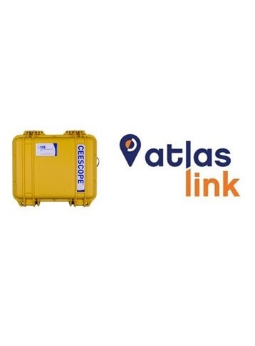
- CEE HydroSystems CEESCOPE ECLIPSE
CEE HydroSystems CEESCOPE ECLIPSE
Echo Sounder Survey System with Affordable Decimeter GNSS Positioning – World Wide
The CEESCOPE™ ECLIPSE is CEE HydroSystems “all in one” hydrographic echo sounder designed for the Hemisphere Atlas L-Band correction service. With a complete single beam survey system in a compact and waterproof case, including internal battery power, touchpad LED user interface, data logger and now Hemisphere’s ECLIPSE II GNSS receiver, the CEESCOPE™ ECLIPSE is ideal for shallow water surveys anywhere in the world. Offering a scalable approach combining dual frequency GNSS with the world-wide Atlas L-Band correction service, CEESCOPE™ ECLIPSE users gain access to decimeter-accurate positioning and the benefit of multi constellation performance with a single subscription. Only pay for the accuracy that you need, when you need it. Compatible with all hydrographic software packages, the CEESCOPE™ ECLIPSE echo sounder is a complete hydrographic grade single beam survey solution.
Hemisphere’s Atlas is a flexible cost-effective subscription GNSS corrections service, delivering signals to the CEESCOPE™ via L-Band satellites. With 200 reference stations worldwide, L-Band satellites distribute coverage from 75°N to 75°S.
CEESCOPE Echo Sounder Specifications
- Weight: 3.6 kg
- Ping Rate: 1 - 20Hz
- Depth Range: 0.2 - 200m
- Transducers: 24 kHz, 33 kHz, 200 kHz
- Accuracy: 1cm ± 0.1% of depth
- Echogram: 3200 samples per ping
- Output: Ethernet, Bluetooth, RS232
- Data logger: USB interface, 16GB
CEESCOPE Internal GNSS Specifications (with Atlas)
- Channels: 394 – Eclipse II OEM
- H100: 1 m 95% (50 cm RMS)
- H30: 30 cm 95% (15 cm RMS)
- H10: 8 cm 95% (4 cm RMS)
- Update rate: 10Hz